 The other weekend we had an amazing visit to Pinnacles National Park, California’s newest national park (it used to be a national monument). Located in central California, Pinnacles is known for its towering rock formations and talus caves. It’s a hikers’ and climbers’ paradise. The area has also played a critical role in the recovery of the California condor.
We needed to take a weekend trip to central California to visit Mission San Juan Bautista, which Sonny had been assigned for his school project. Since it was my responsibility to plan the mission trip, I took the liberty of scheduling a stop at Pinnacles on our way home. The kids adamantly objected to the planned visit, but afterwards they reluctantly agreed it was pretty fun and adventurous after all.
Some national parks are drive-through parks, meaning you can drive along a designated road and see much of the park. Pinnacles, however, is not such a park. You have to view it by foot.
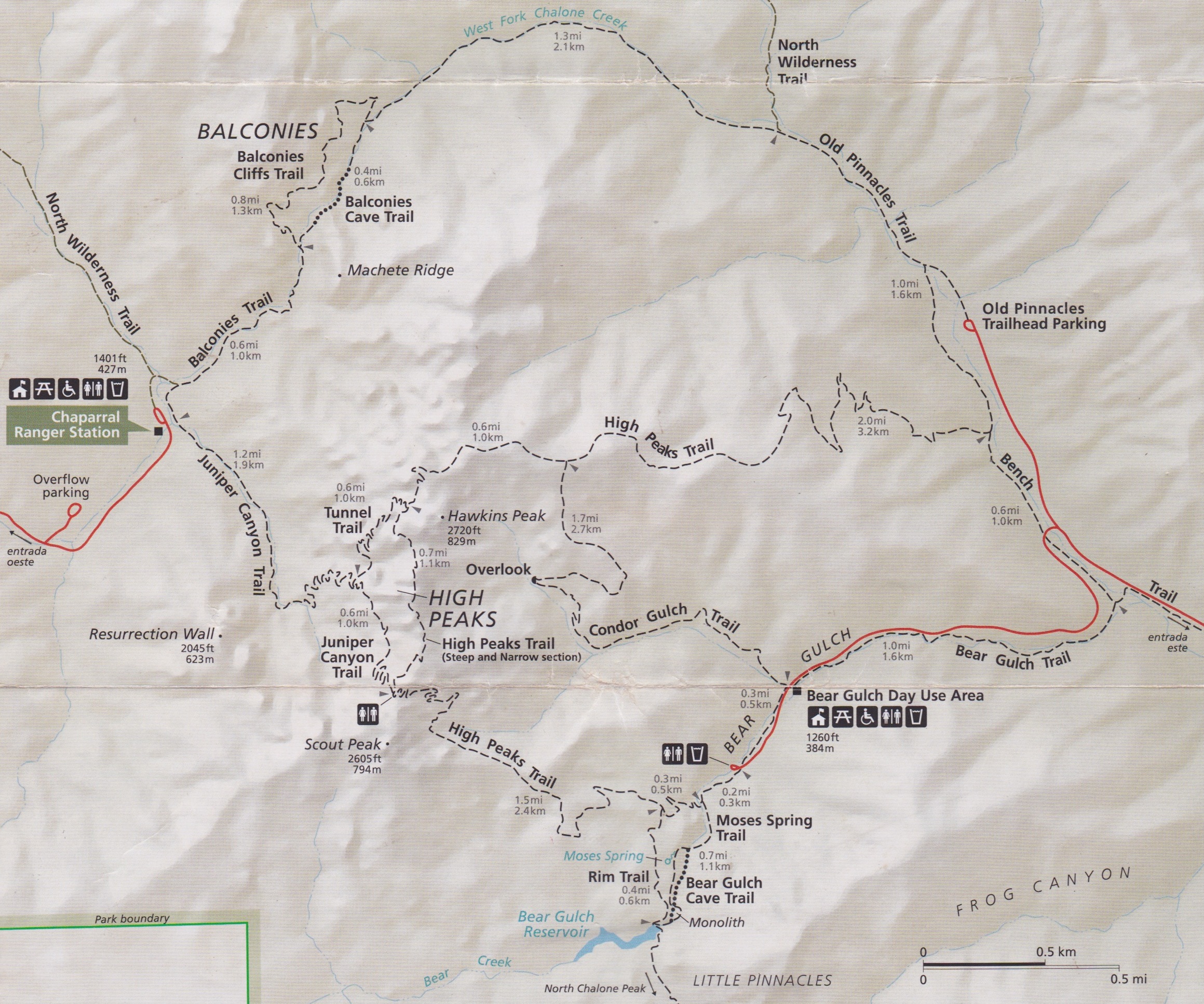
 There are two entrances to the park, East and West. You cannot drive from one to the other so you have to figure out which one is best for you. After some research (and much appreciation goes to ChasquiMom’s blog post about her visit to the park), I decided that the East Entrance would be the best choice for us and that our goal would be to hike to Bear Gulch Caves and the reservoir. It seemed like the ideal way to visit the park for the first time, especially with kids.
We visited Pinnacles on Martin Luther King, Jr. Day. We did not realize it was a fee-free day and hence we were not alone at the park. Our plan was to park at the Bear Gulch Day Use Area and hike from there. However, that parking lot was full when we arrived. Fortunately, the park had a shuttle going from the Visitor Center to the trailhead for Bear Gulch Cave. The shuttle only took 24 people at a time so we had to wait for the second pick-up. Good thing my accompanying family members were amenable to waiting about 40 minutes because the alternative was hiking 3 miles uphill to the trailhead. When our shuttle arrived, we both sat with a kid on our laps, as did several other families, and our adventure in Pinnacles began.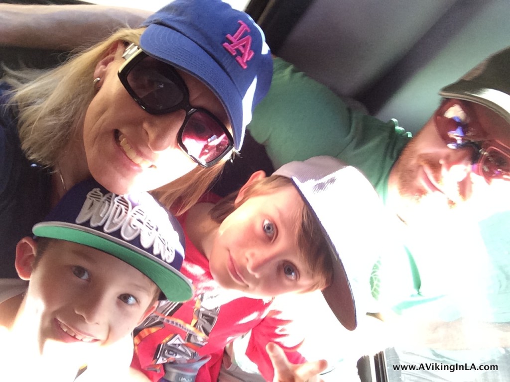
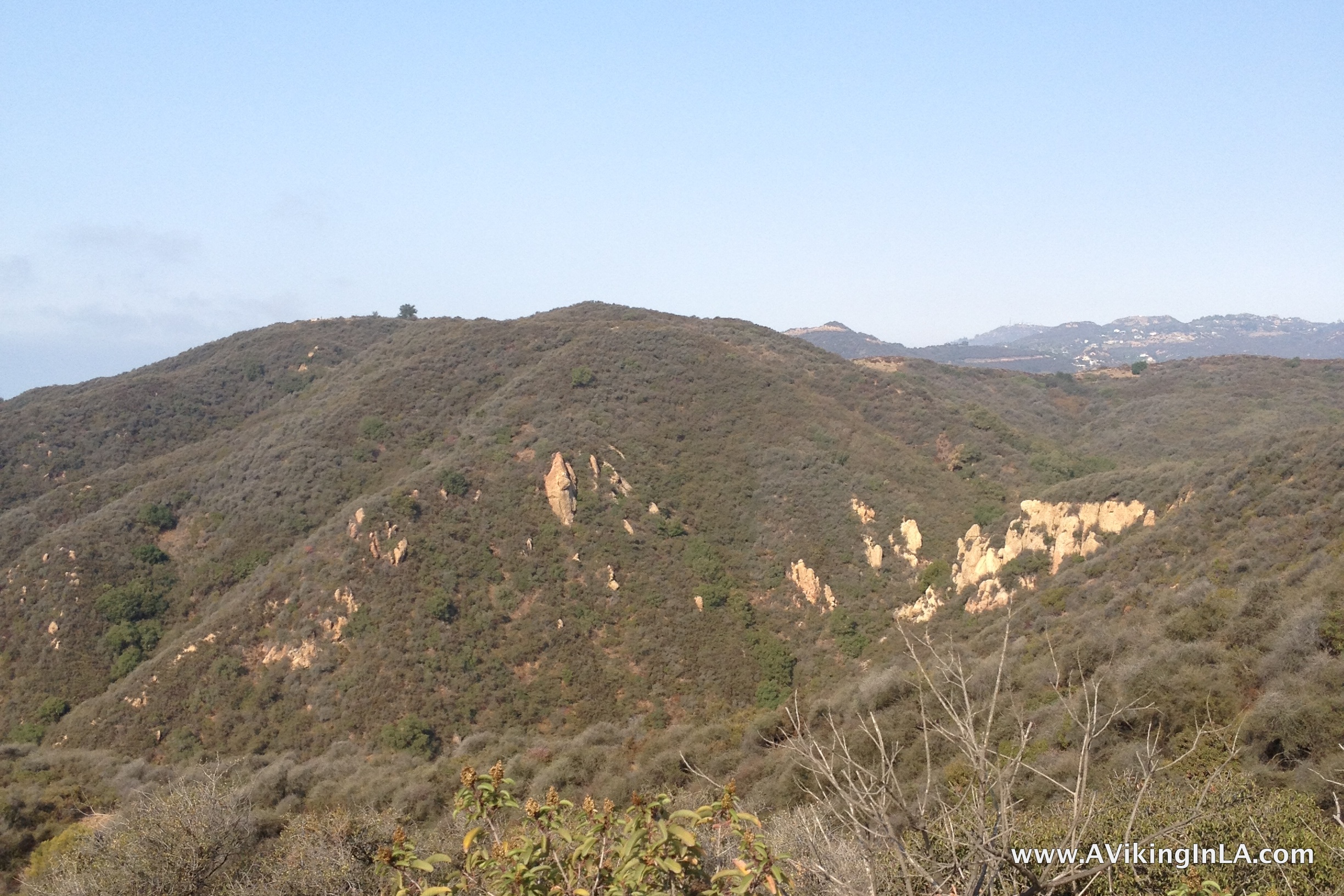
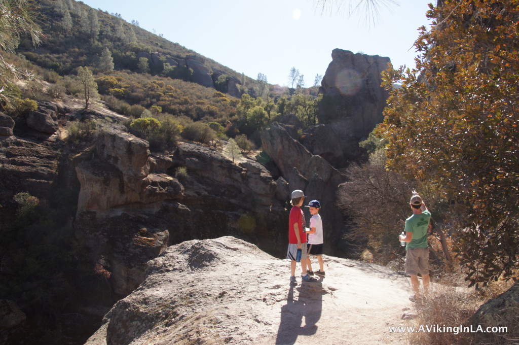
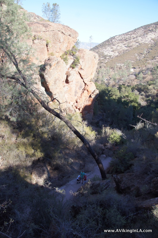
The hike was awesome. It was not your normal hike along a fire road or single track trail. We hiked along cliff edges, under cliff ledges, through rock tunnels, and into pitch dark caves, just to mention some of the highlights. On rock faces at several locations, we saw rock climbers making their way up. The kids had no opportunity to complain or whine as around every curve was something new and different. Also, there were kids of all ages along the trail, so they were constantly reminded that we weren’t dragging them along on something that wasn’t for kids.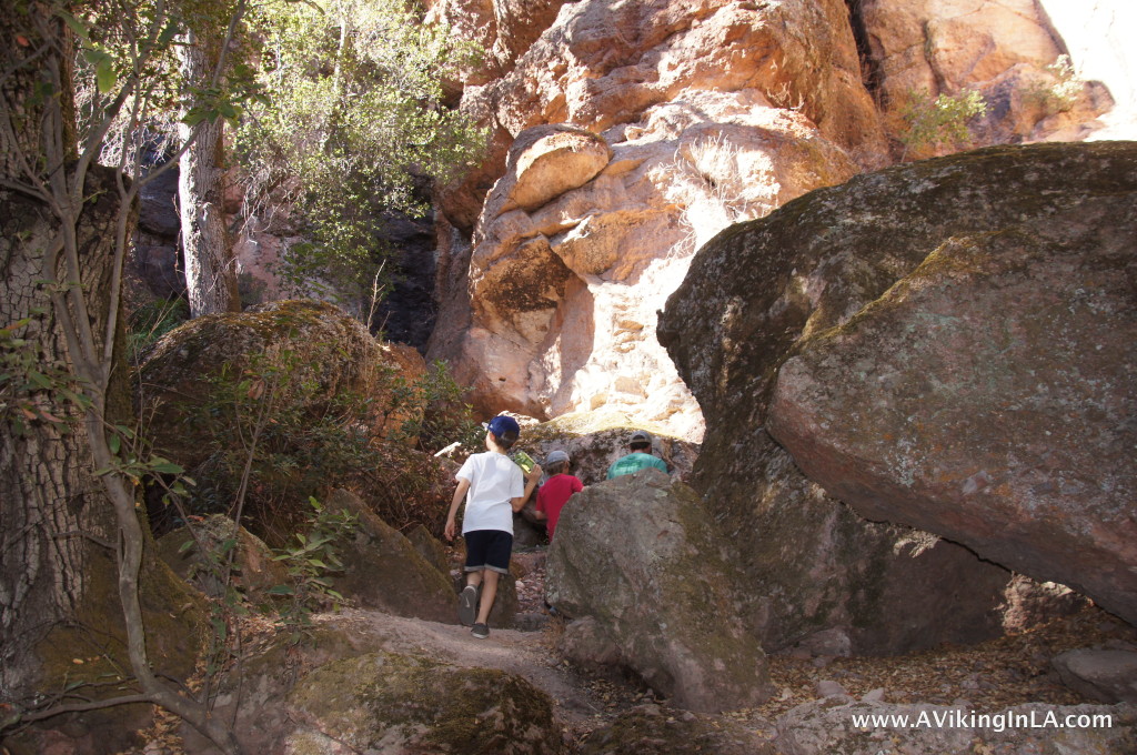
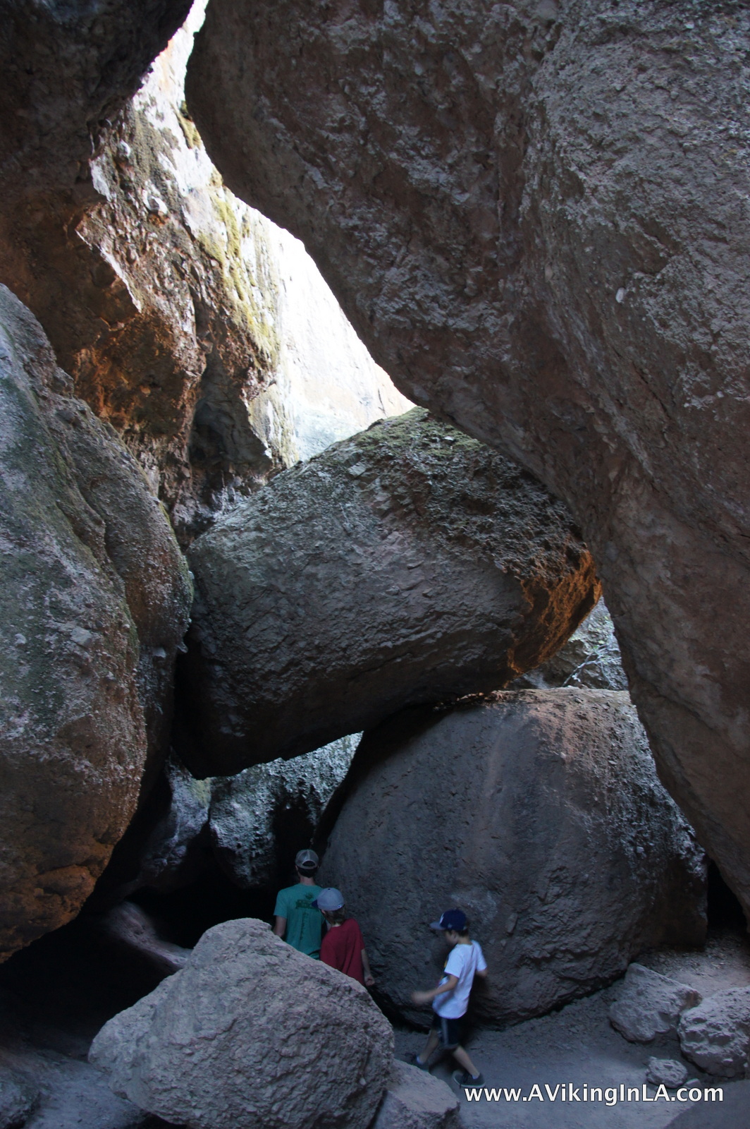
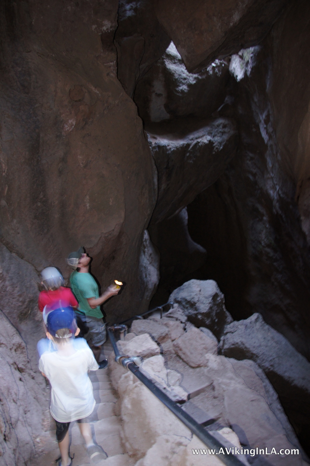
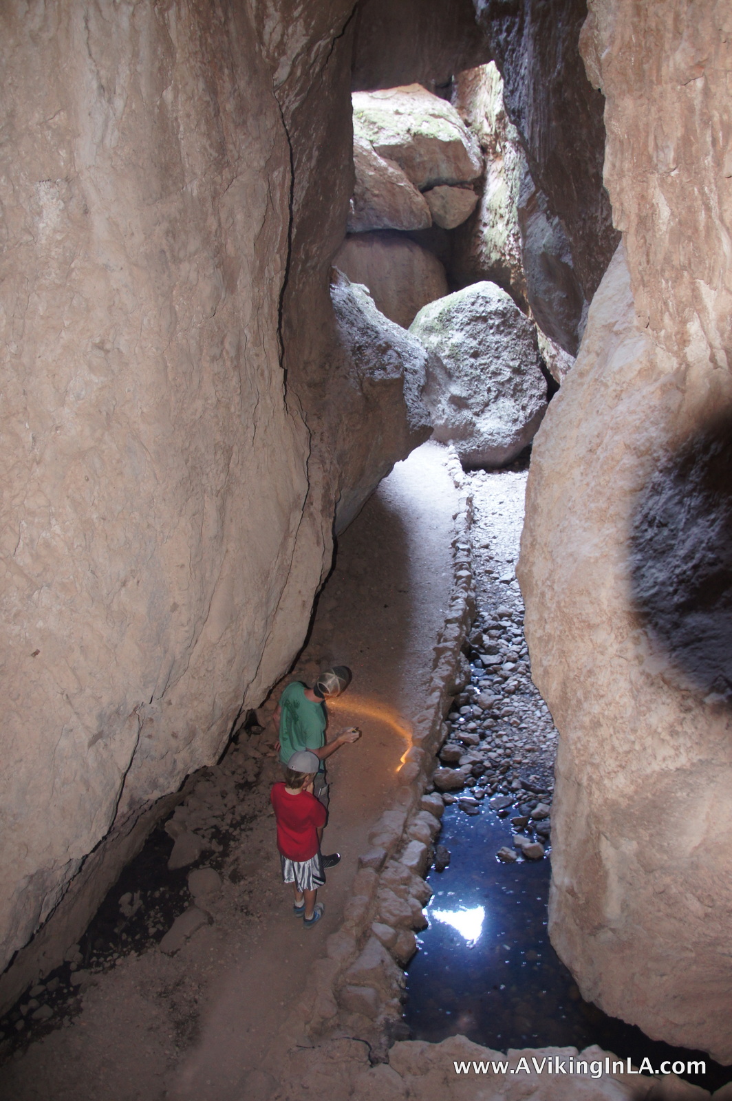
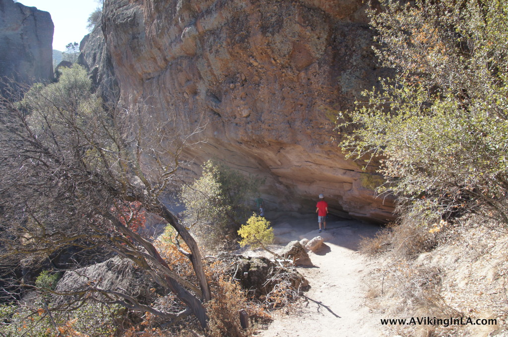
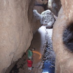
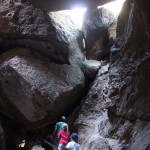
On our way up, we took the Moses Spring Trail. When we arrived at the off-shoot for the caves, we ventured boldly through them. We had been warned that we would have to crawl on our knees at one point, but we actually didn’t have to. We just crouched really low. It was pitch black in certain places, and we were grateful for the two flashlights I had brought. Click on a picture to see a larger version.
-
-
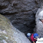
Headed down into cave
-
-
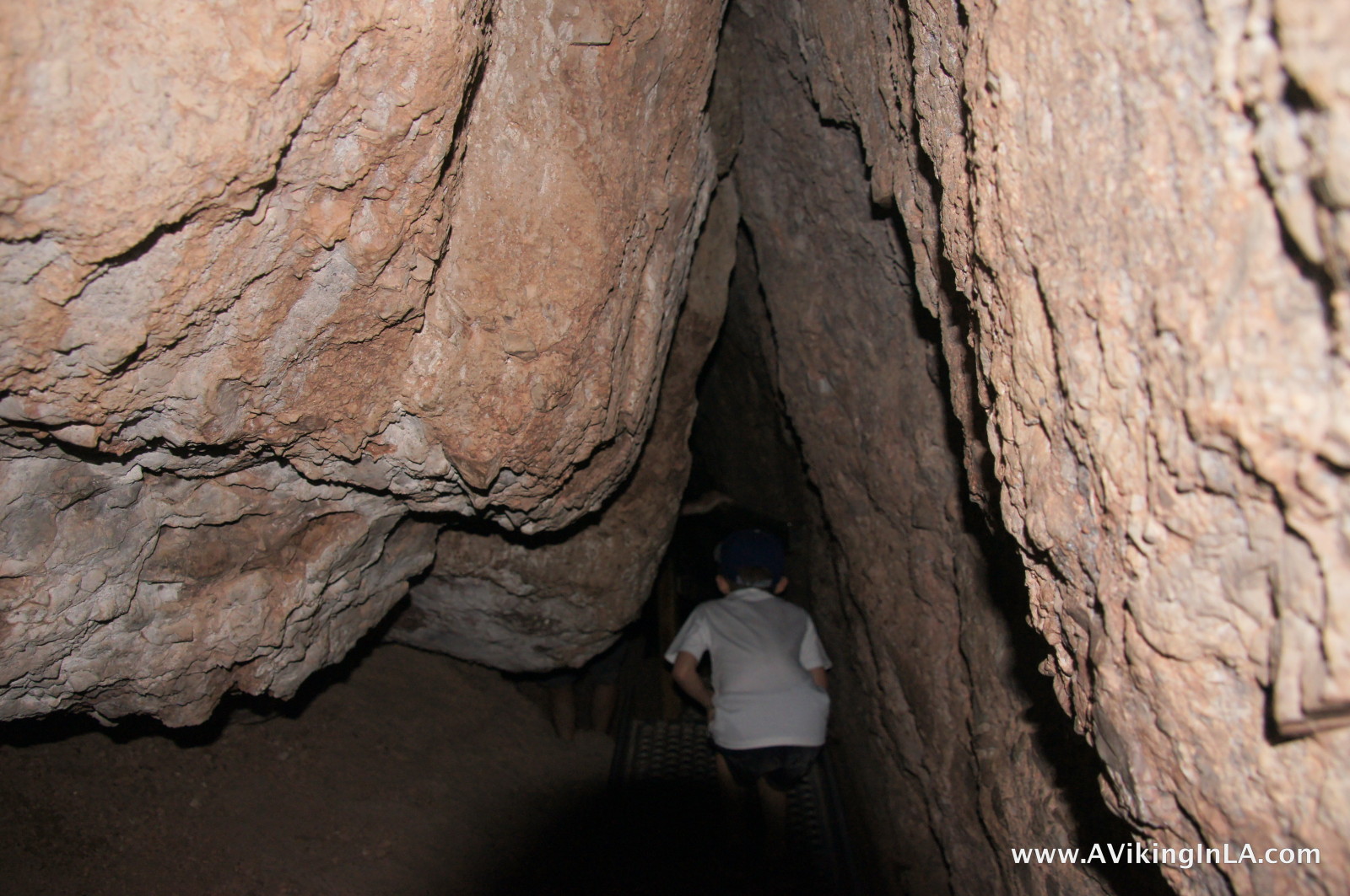
Crouching low
-
-
Making our way down in pitch dark (camera flash lit up the cave)
-

-
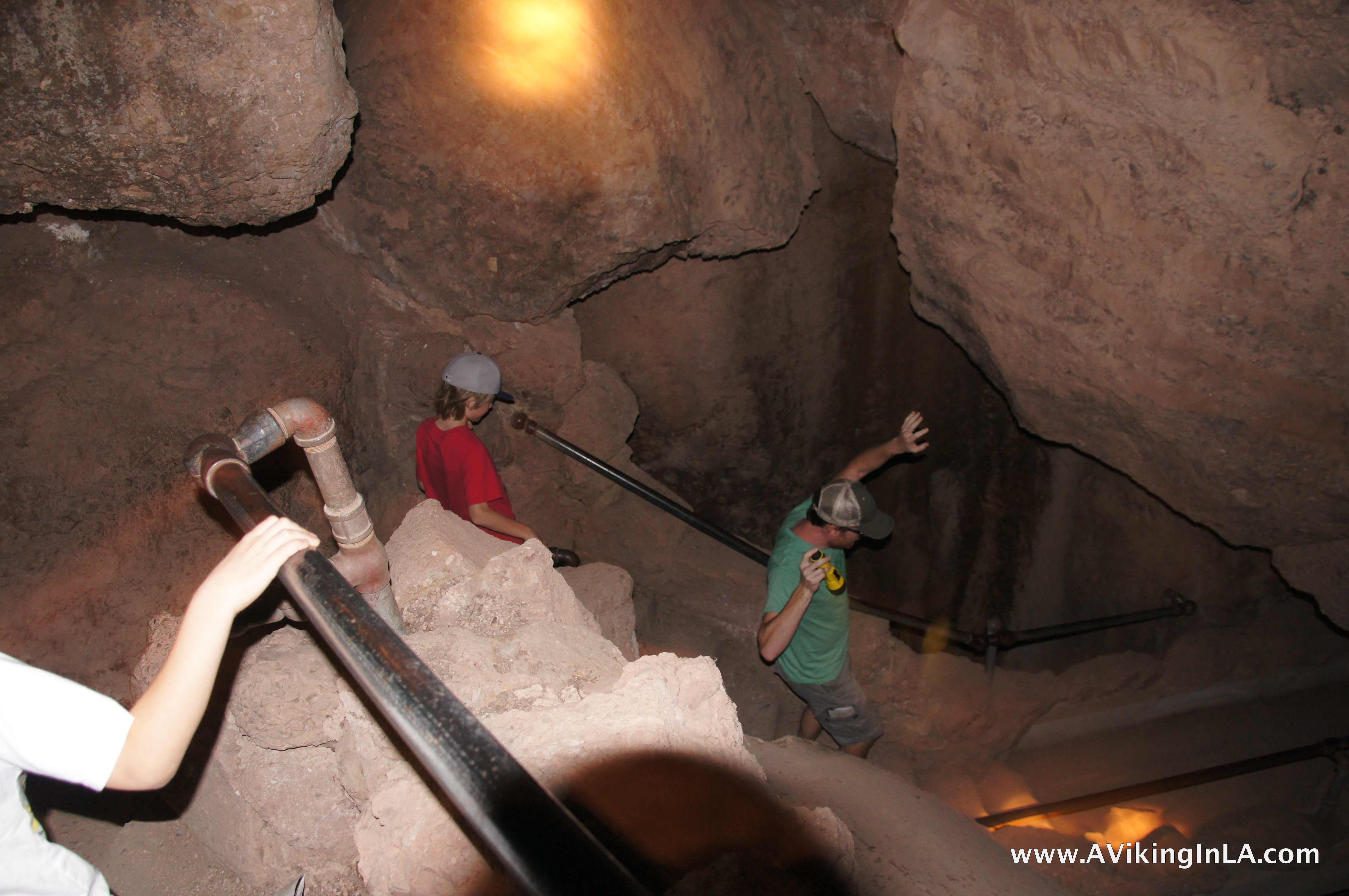
Exploring with flashlights
-
-
At the bottom of the cave
-
-
Retracing our tracks back up
When we reached the end of the cave, we were uncertain if the trail would lead us to the reservoir or just back down to the trailhead. We couldn’t really tell from the map since we didn’t know exactly where we were. Instead of risking missing the reservoir, we headed back through the cave, now feeling like experts going through it.
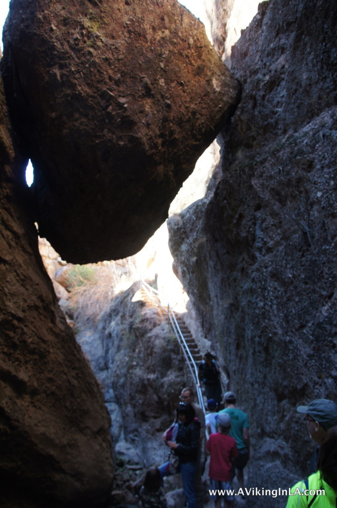 We rejoined the trail we had left and continued onwards to the reservoir, passing underneath the Monolith (a huge boulder stuck in the gulch) before ascending to the peaceful reservoir just beyond.
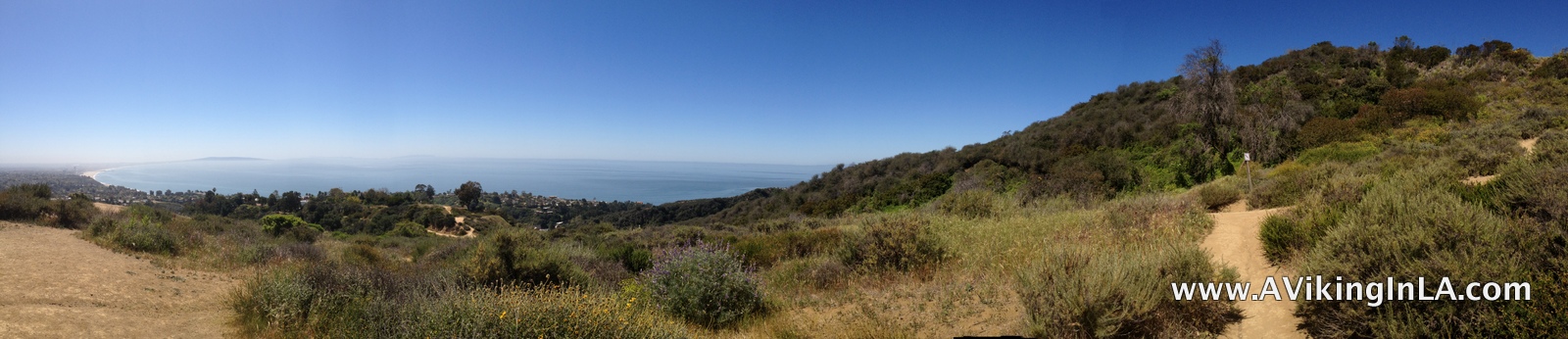
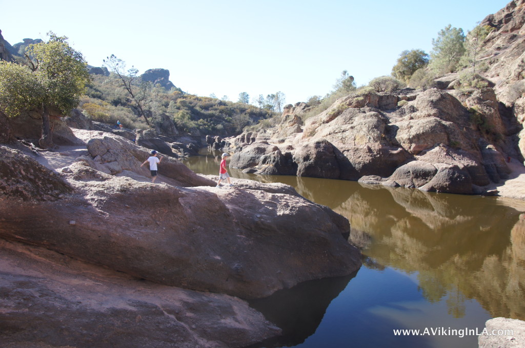 The reservoir was a perfect destination point. We found a place to sit and enjoyed our snacks while watching rock climbers work their way up the face of a rock. At one point, we decided we should head back to the car. To get back, we took the Rim Trail instead of backtracking down through Bear Gulch. The Rim Trail was a more normal trail, no exciting tunnels and caves, but it had very nice views of the gulch below and the area beyond. And we didn’t meet any other people along this trail which was a nice change from before. The trail coming up got very busy at times. In one way, it was great to see so many people interested in nature and the national park, but at the same time, it sometimes felt too crowded.
And now, what would an excursion in nature like this be without geocaching for me? There was a geocache placed just outside the entrance to the park which we found easily. Physical geocaches, however, are not allowed on lands administered by the National Park Services (though there are some exceptions). Inside the park, however, there was an EarthCache. An EarthCache is a type of virtual cache that teaches the visitor something about how the place was formed or why the place is important scientifically. In this EarthCache, we learned about the geologic and volcanic history of Pinnacles. Logging requirements were just to look through the displays at the visitor center and find something that the writer hadn’t included in their text. Simple enough.
If you’re driving through this part of central California or looking for a fun, outdoorsy weekend trip, I very highly recommend a visit to Pinnacles. You can hike, or climb, to your heart’s content. There are 30+ miles of trails, something for every ability. What we did was perfect for families, a 2.2 mile hike with great variety and adventure. I would love to go back and hike a longer trail that goes farther into the park. I have my eyes set on a hike along High Peaks Trail to Scout Peak or a hike along Balconies Trail to explore the Balconies Cave. It would be really cool to catch a glimpse of a California condor as well.


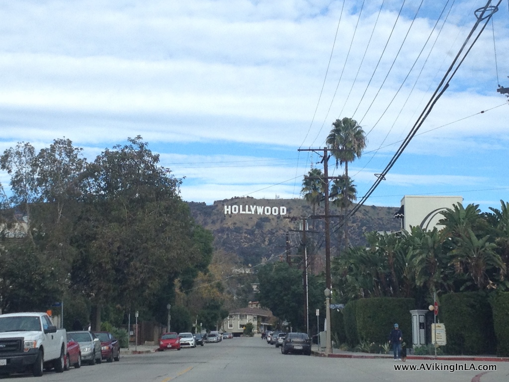
 A hike to the Hollywood Sign has been on my California bucket list for a long time. About two years ago, our family attempted, but