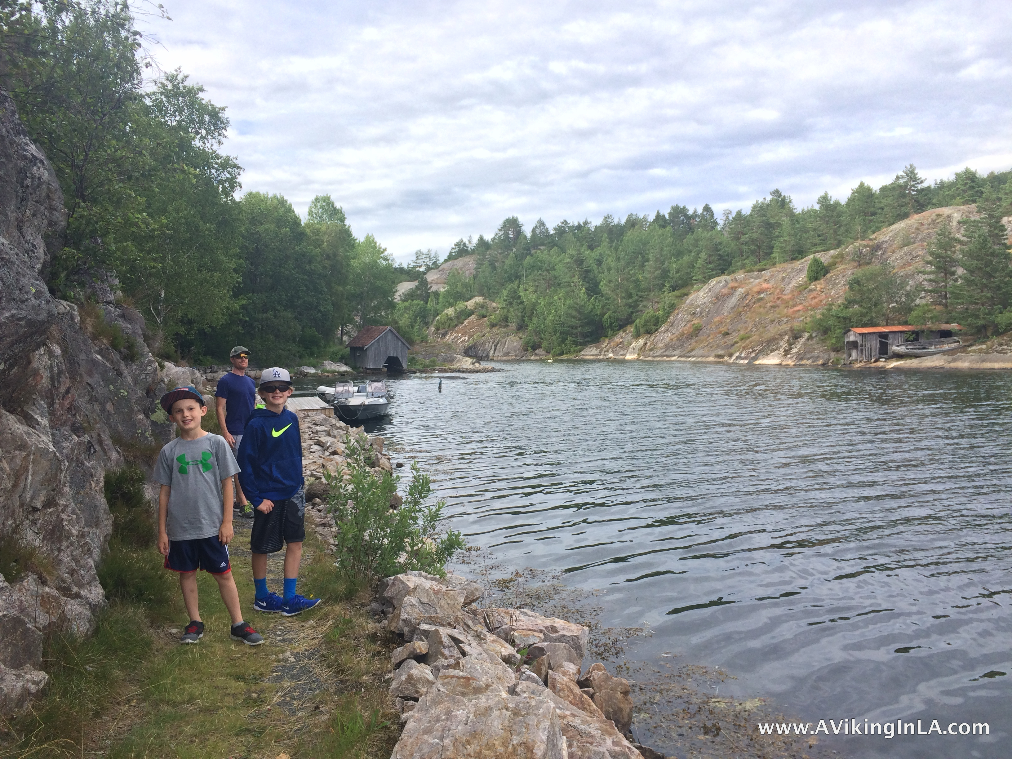
A new favorite activity during our annual summer trip to Norway is exploring Kyststien i Kragerø, a hiking trail through the municipality of Kragerø following the coastline as much as possible. Our summer home is on an island, but the trail passes right by on the mainland a very short boat ride away.
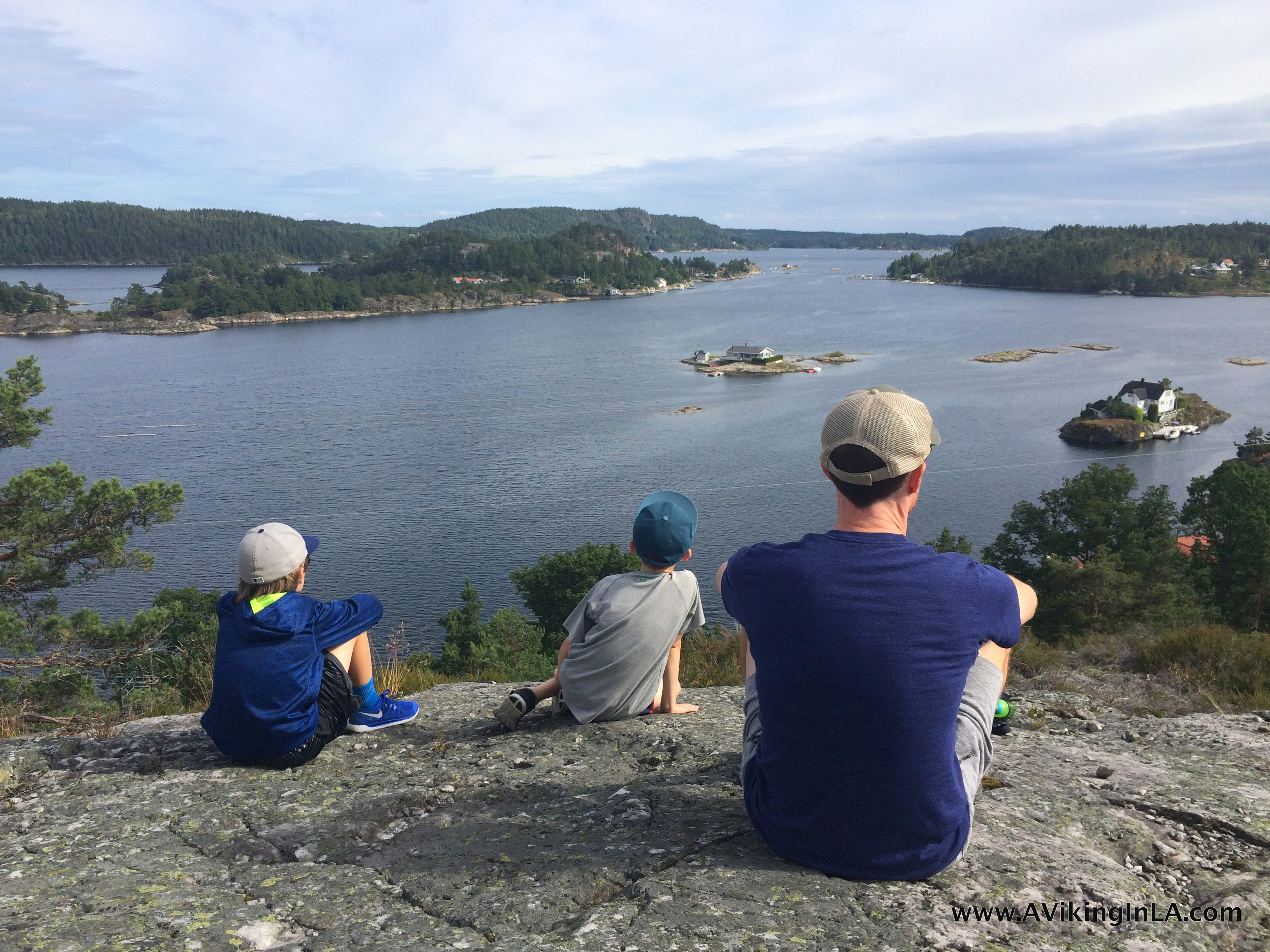
The Coastal Trail in Kragerø is a relatively new part of our summer consciousness. It officially opened in November 2013, so this year was our third summer with it. It’s part of an effort to have a continuous trail all the way from Oslo to Stavanger. The idea was to use the old road system that once followed the coastline.
The complete trail in Kragerø is about 40 kilometers/25 miles long, and it is divided into 3 stretches (Fossing – Helle, Helle – Kragerø, and Stabbestad – Ellingsvika). Remnants of the old road system remain but only in small areas. Most of it is under private docks and lawns. The trail runs along the coastline where possible, but at times it has to swing into the woods or over a mountain ridge.
Part 1 of Kyststien i Kragerø (Fossing – Helle)
In the summer of 2014, my aunt invited us along for an inaugural hike of the first part of the trail. Officially, the Coastal Trail in Kragerø starts in Fossing, but the beginning of the trail follows Fossingveien, a narrow, curvy road with no shoulder for pedestrians, so we chose to start at a quiet dirt road off Fossingveien where the trail continued without us having to worry about cars whizzing by unexpectedly.
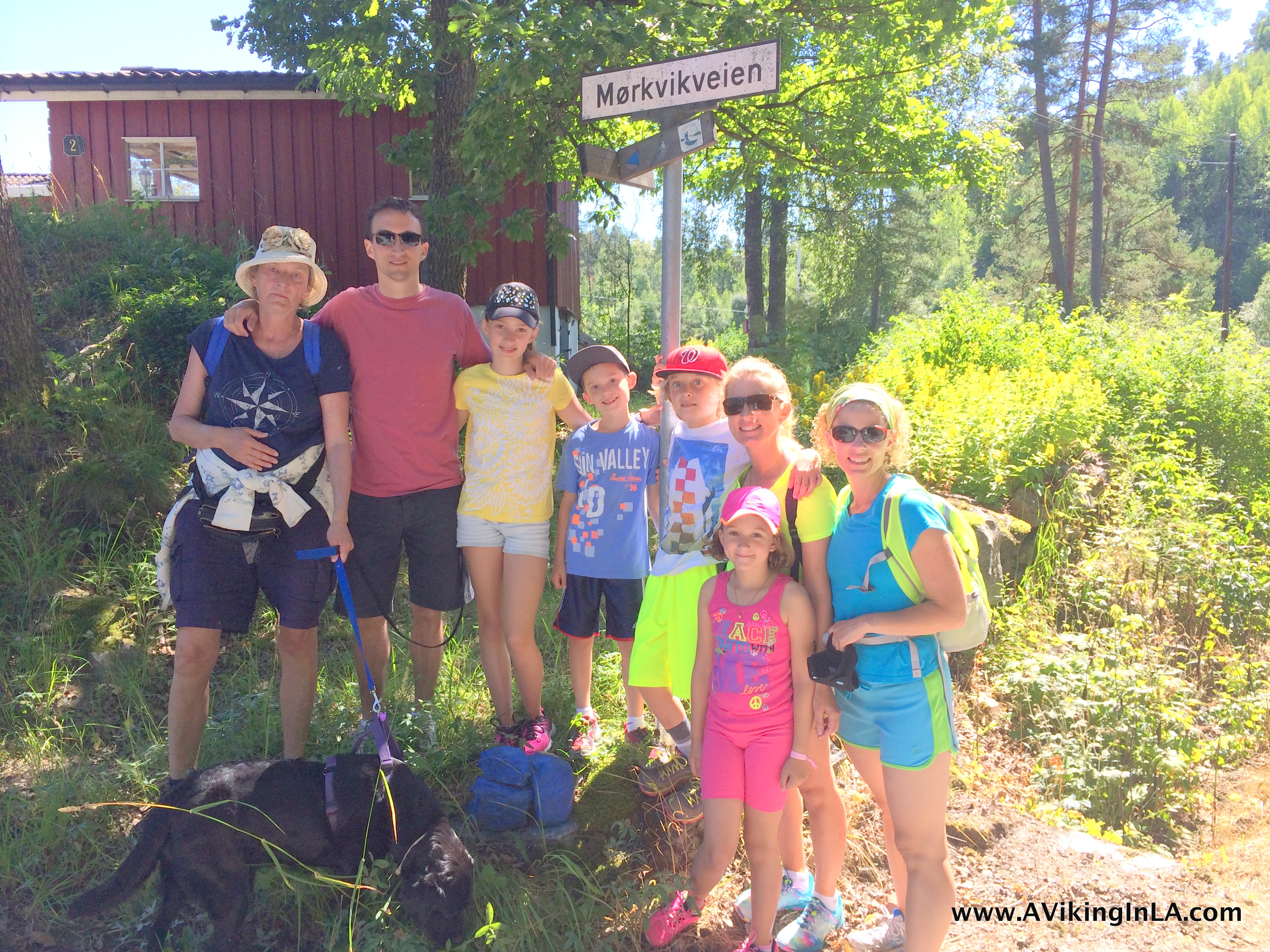
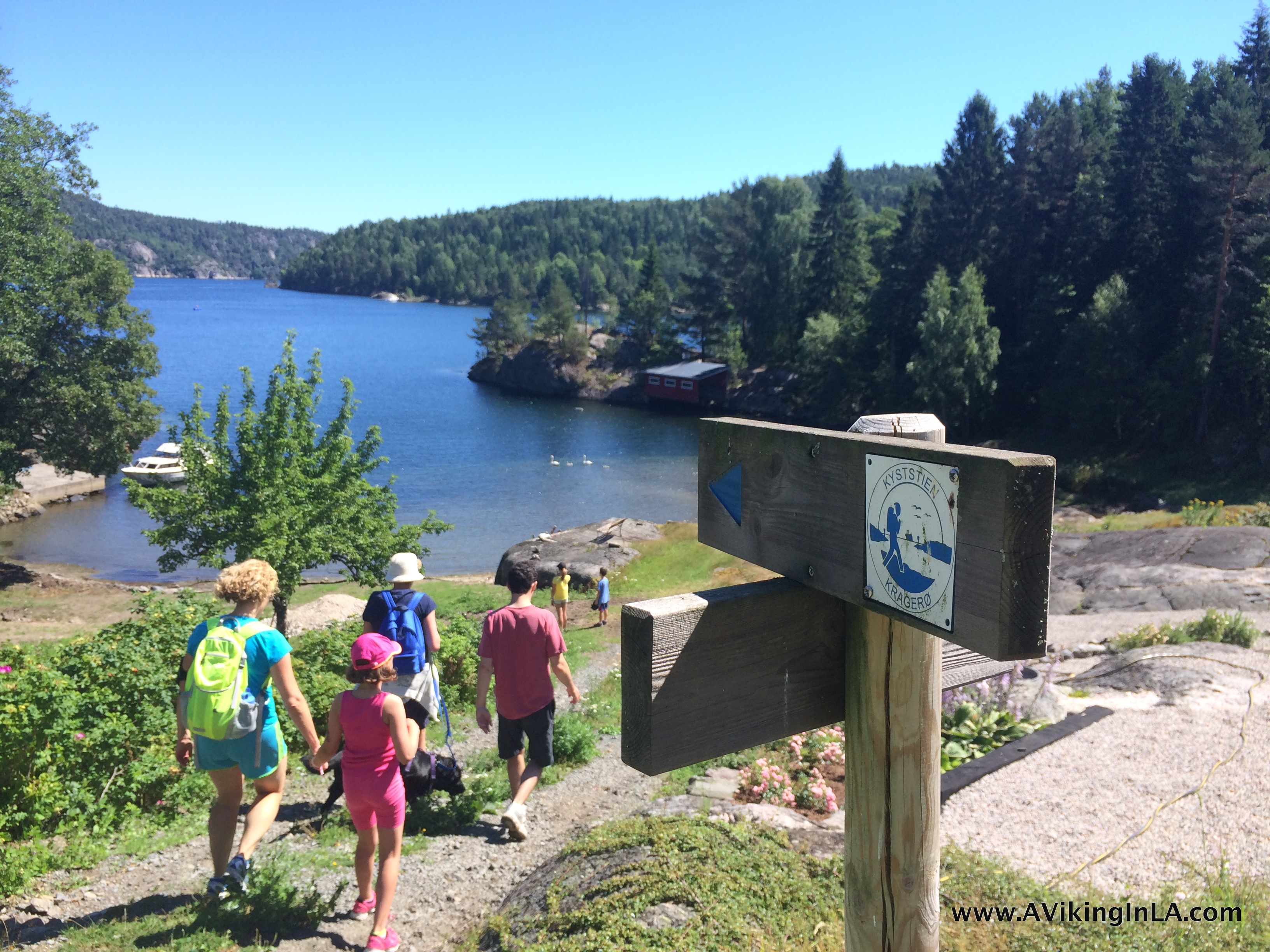
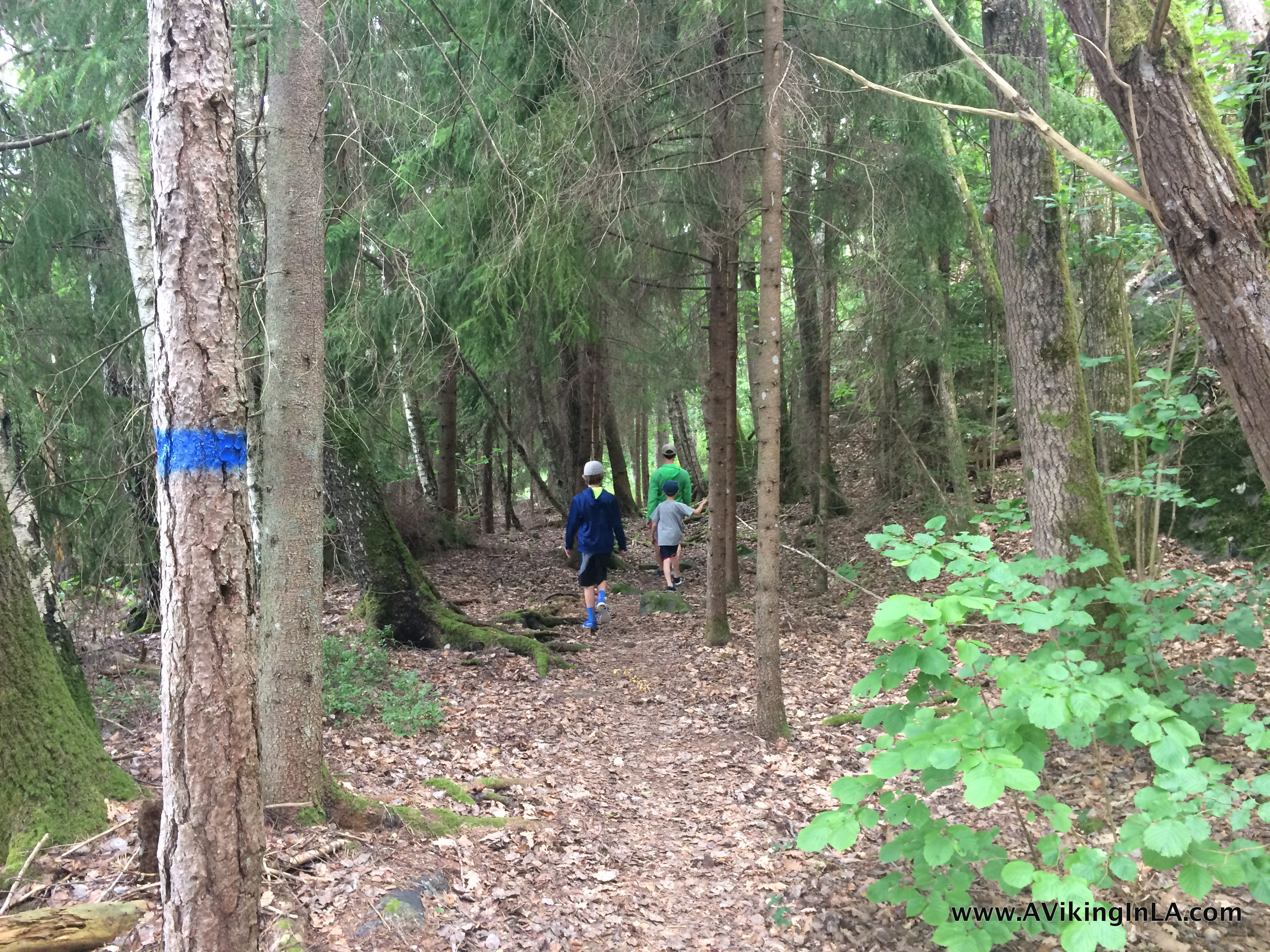
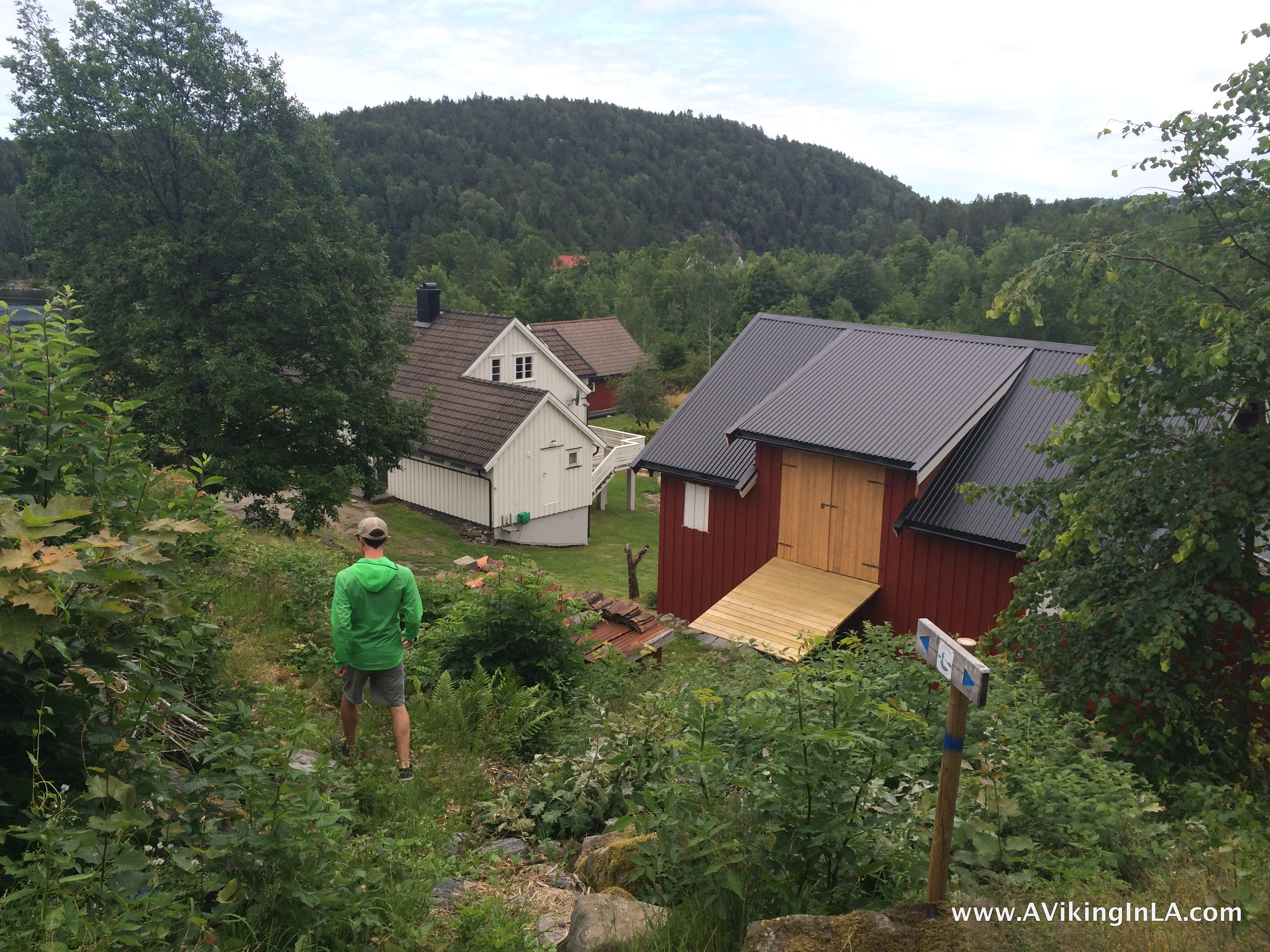
From there, we had a lovely and leisurely hike. It was easy to follow the trail, which was marked with blue paint on rocks and trees and poles. Occasionally, there was even an official sign pointing the direction.
We hiked along dirt roads, on single track trails through woodlands, and along mountain ridges with fantastic views. At times, we even passed through backyards of summer cabins. We ended up across the water from our summer place (Soppekilen) where we were picked up by boat at a public dock.
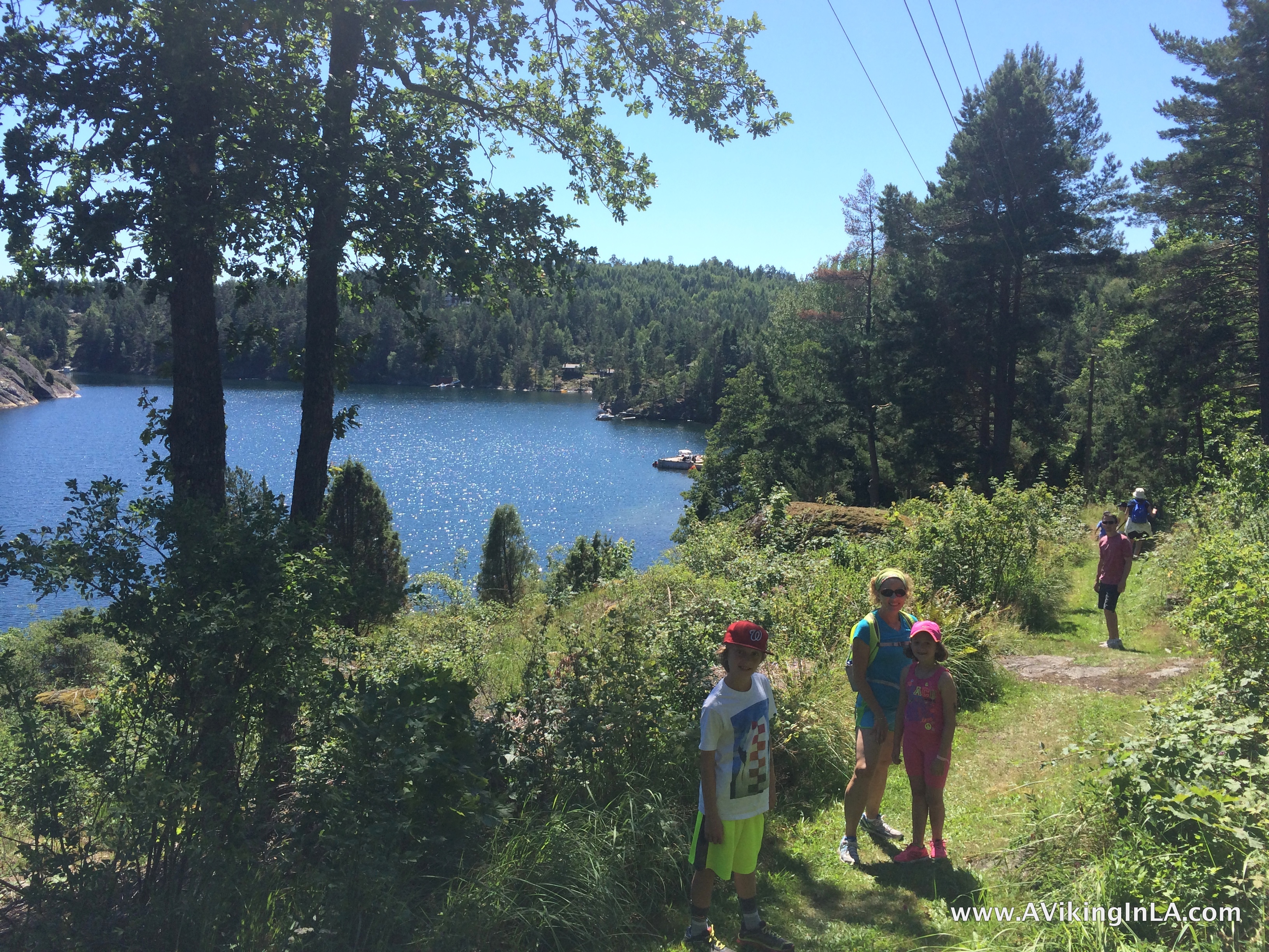
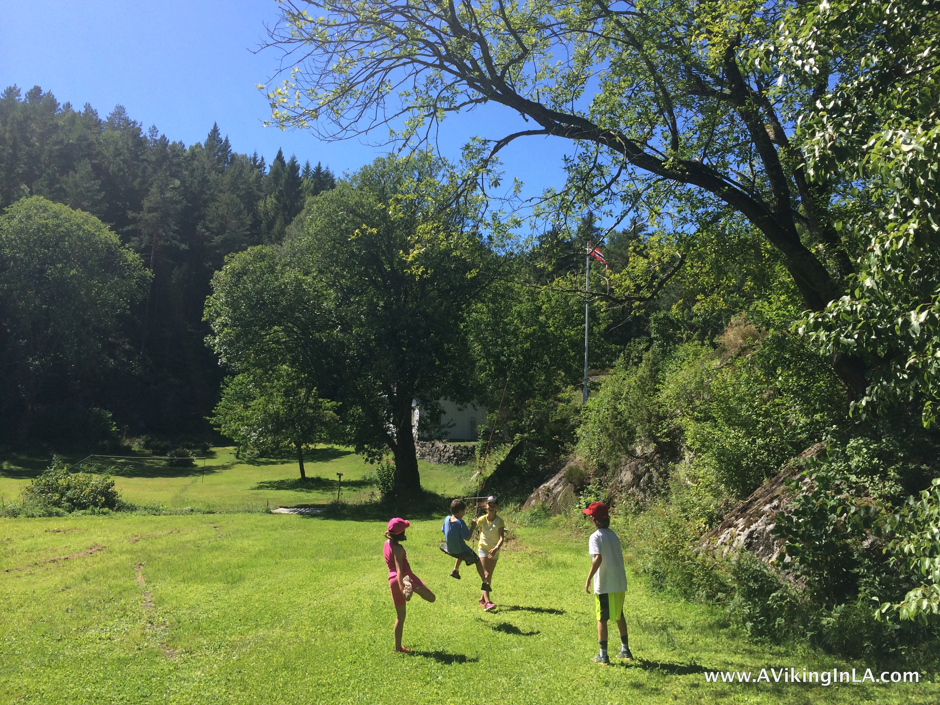
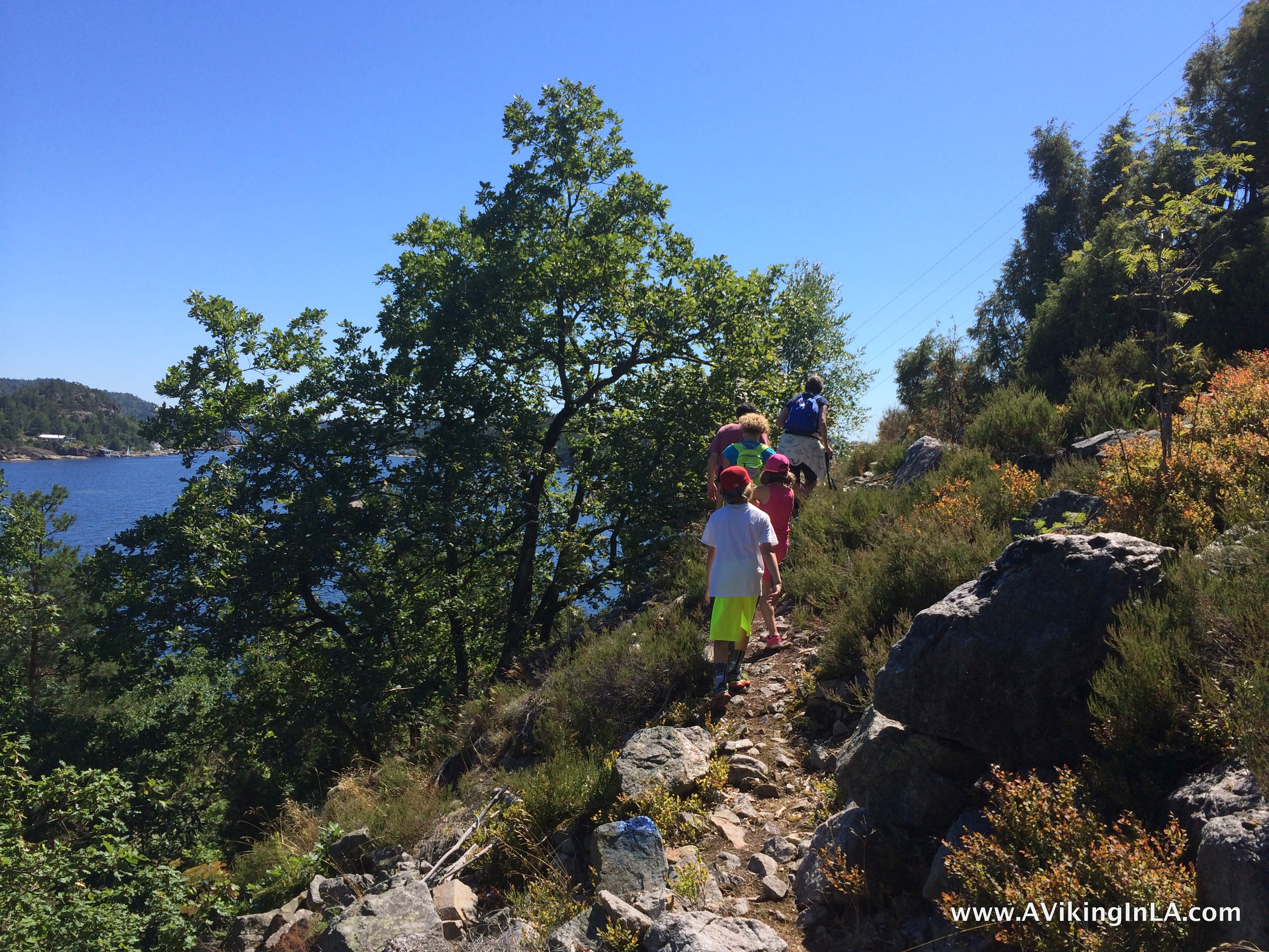
In the summer of 2015, we repeated that stretch of Kyststien and enjoyed it just as much. Daddy was able to experience it as well. This time, however, we were taken by boat to near the beginning of the trail. It worked out just as fine, except for the loose dog that was surprised by our arrival near his home and made it known that we weren’t welcome.
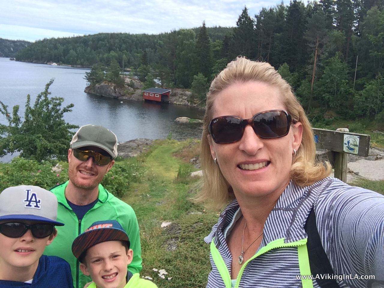
Hegrefjell, a worthwhile detour
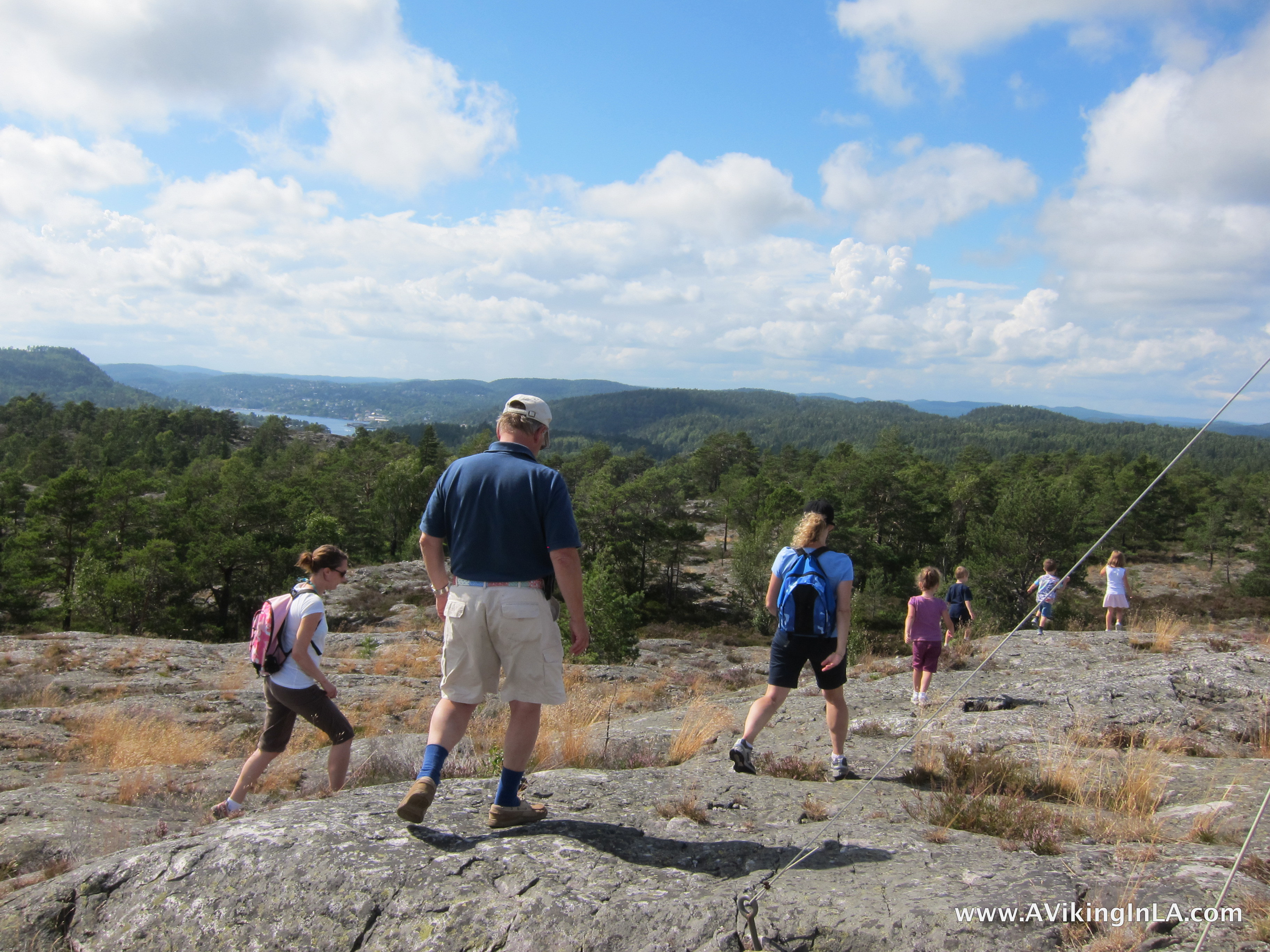
Hegrefjell is a mountain top right across from our island that is now mentioned as a worthwhile detour from the first stretch of Kyststien. Before the opening of Kyststien, we had explored Hegrefjell many times. In the early years, we crawled our way to the top and bushwhacked back down, not knowing there was actually a fine trail nearby to the top. Once we discovered the trail to the top, we just bushwacked down to give ourselves some variety instead of following the same trail down.
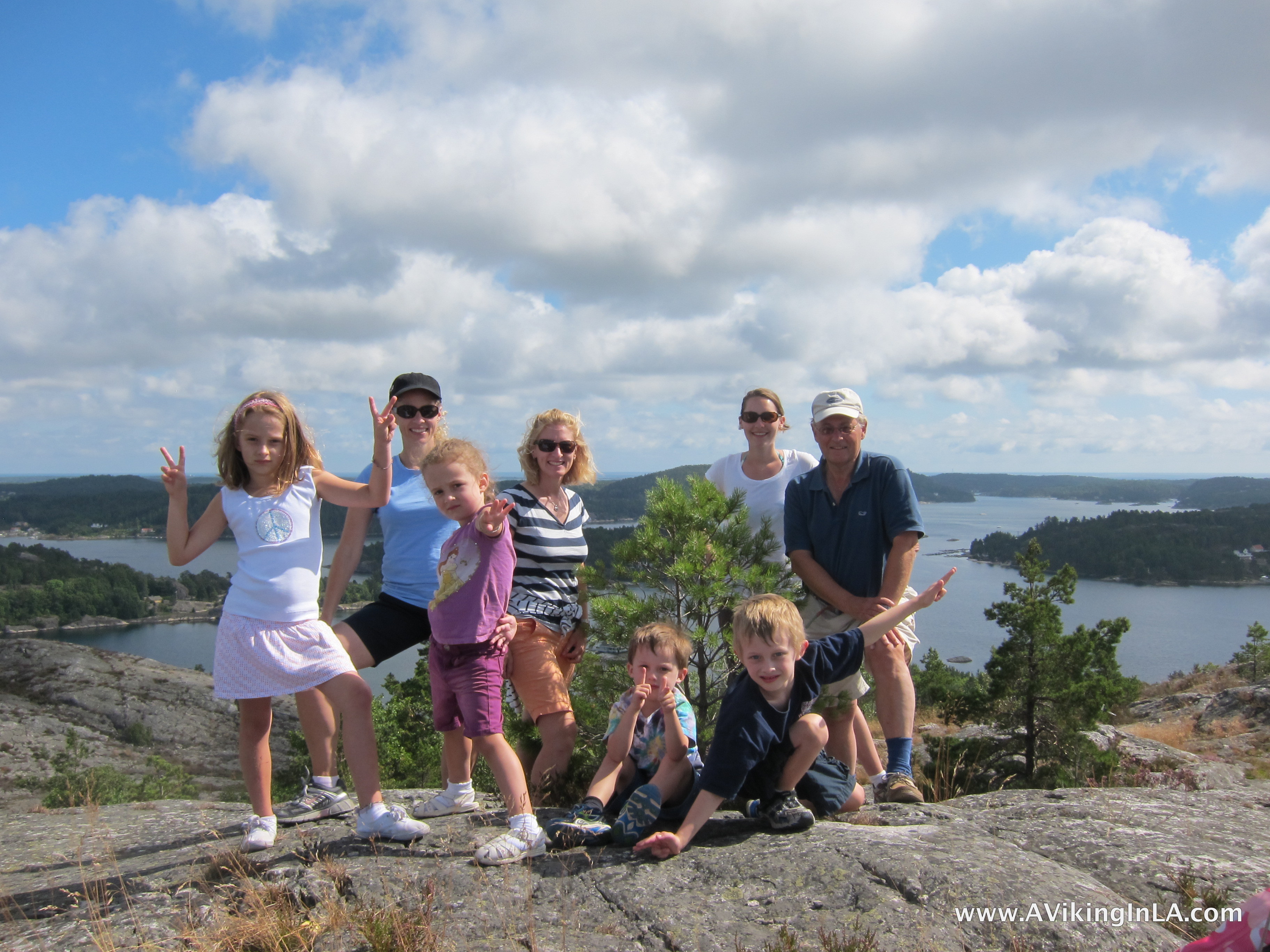
The view from the top is fabulous. It is certainly worth the detour from Kyststien and even as an outing in and of itself. You are rewarded with a 360° panoramic view of the surrounding skjærgård, or archipelago, and inland woodlands. You don’t tire of a view like that.
The area is also home to a series of playful geocaches that has called our name every summer. They are named after native woodland animals, and the very unique containers and corresponding experiences of finding them are so creative and clever.
Soppekilen to Helle, the final stretch of Part 1
This information may be of more interest to anyone who happens upon this post and is actually planning on hiking the first part of Kyststien i Kragerø…
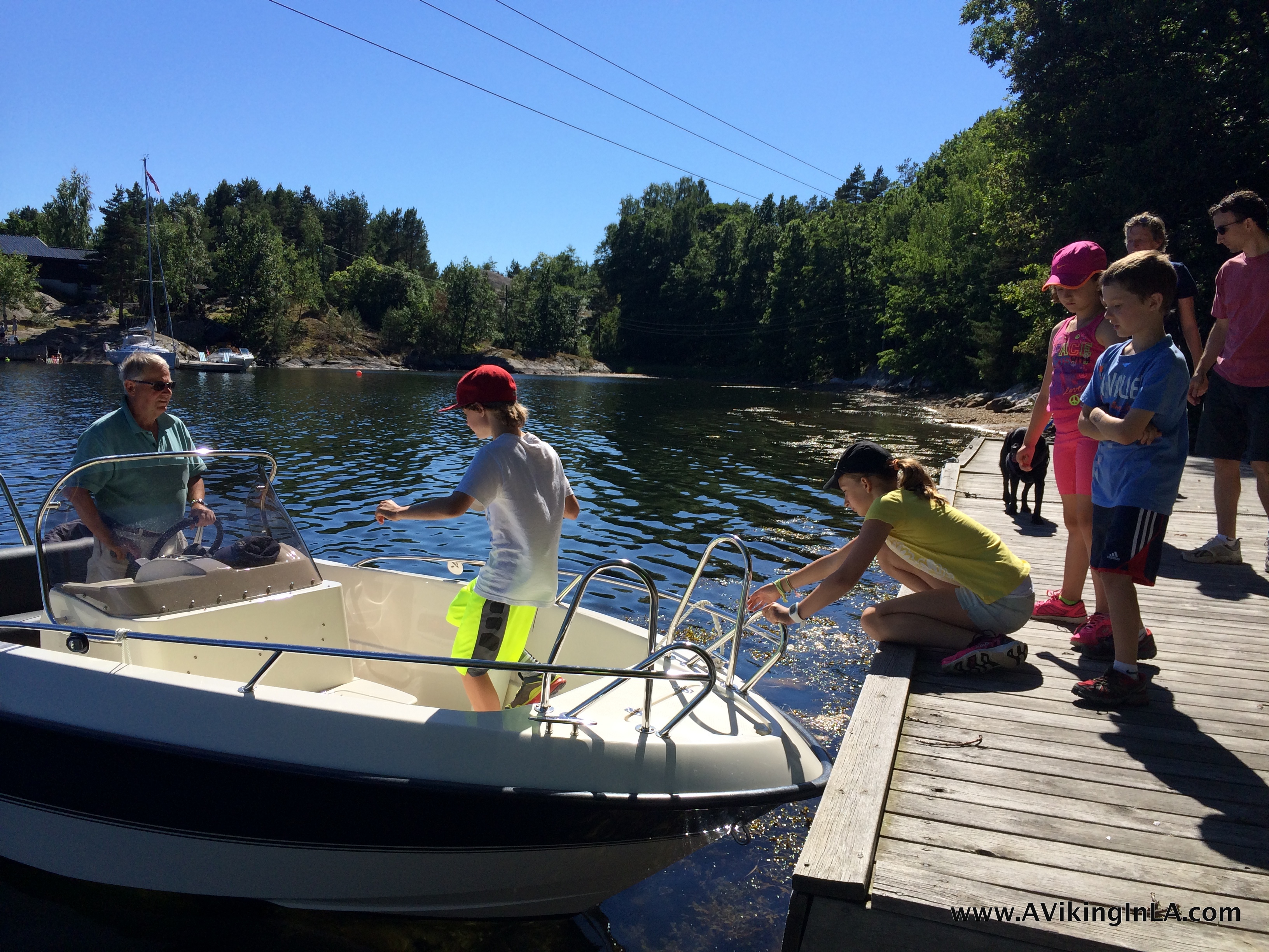
Both years we ended our hike of the first stretch of Kyststien at the public dock at Soppekilen, across from our summer home. For us, it was the perfect end to a lovely 4-mile hike. However, that is not the ending point of that stretch. It continues for about another 5 kilometers/3 miles to the little town of Helle. At least that was the distance of the route we took in 2016.
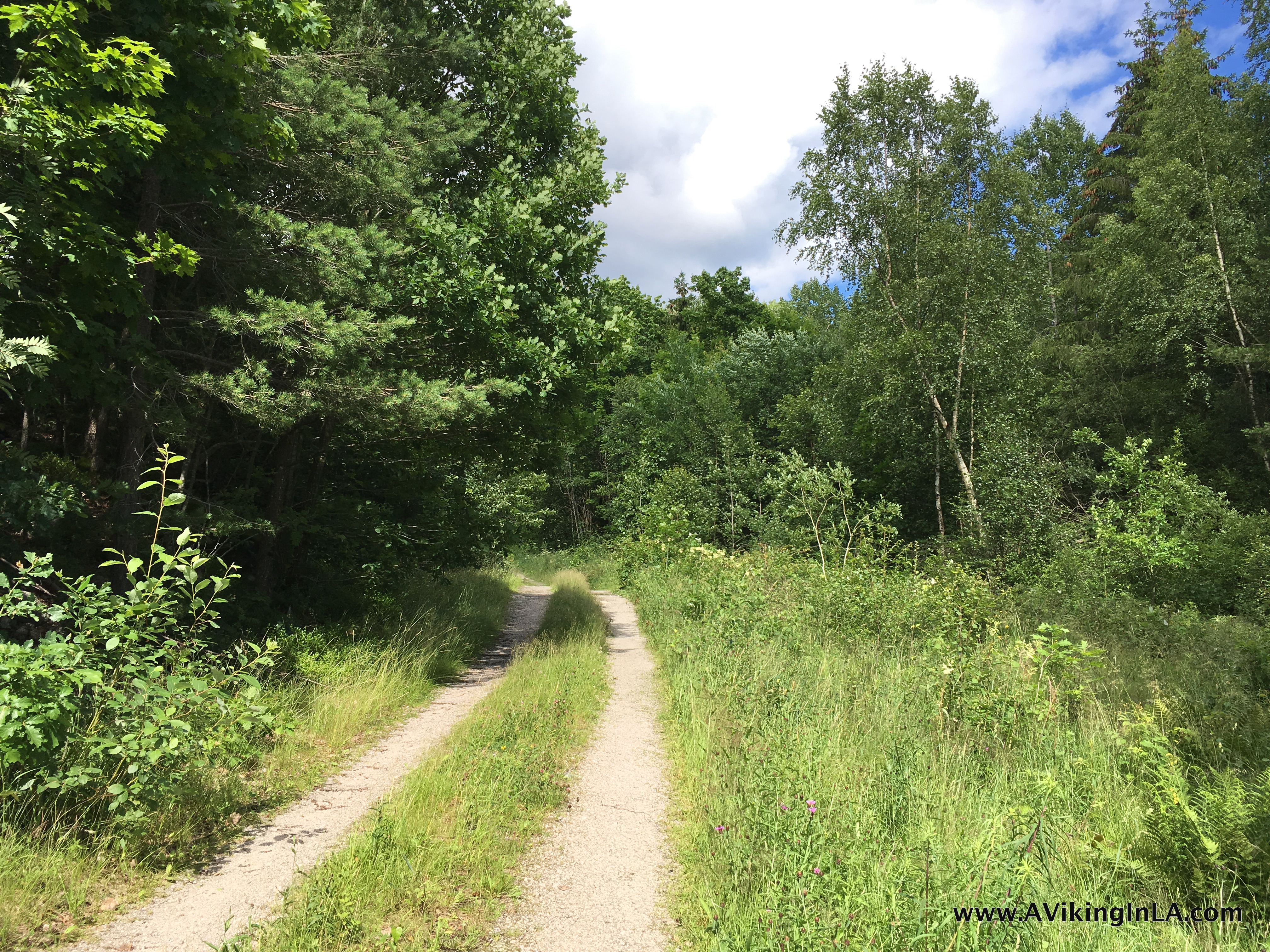
In 2016, we hiked the stretch to Helle as part of our exploration of the second part of Kyststien to the town of Kragerø. The first part of that 3-mile route was ideal. It alternated between a single track trail through woodlands and dirt roads.
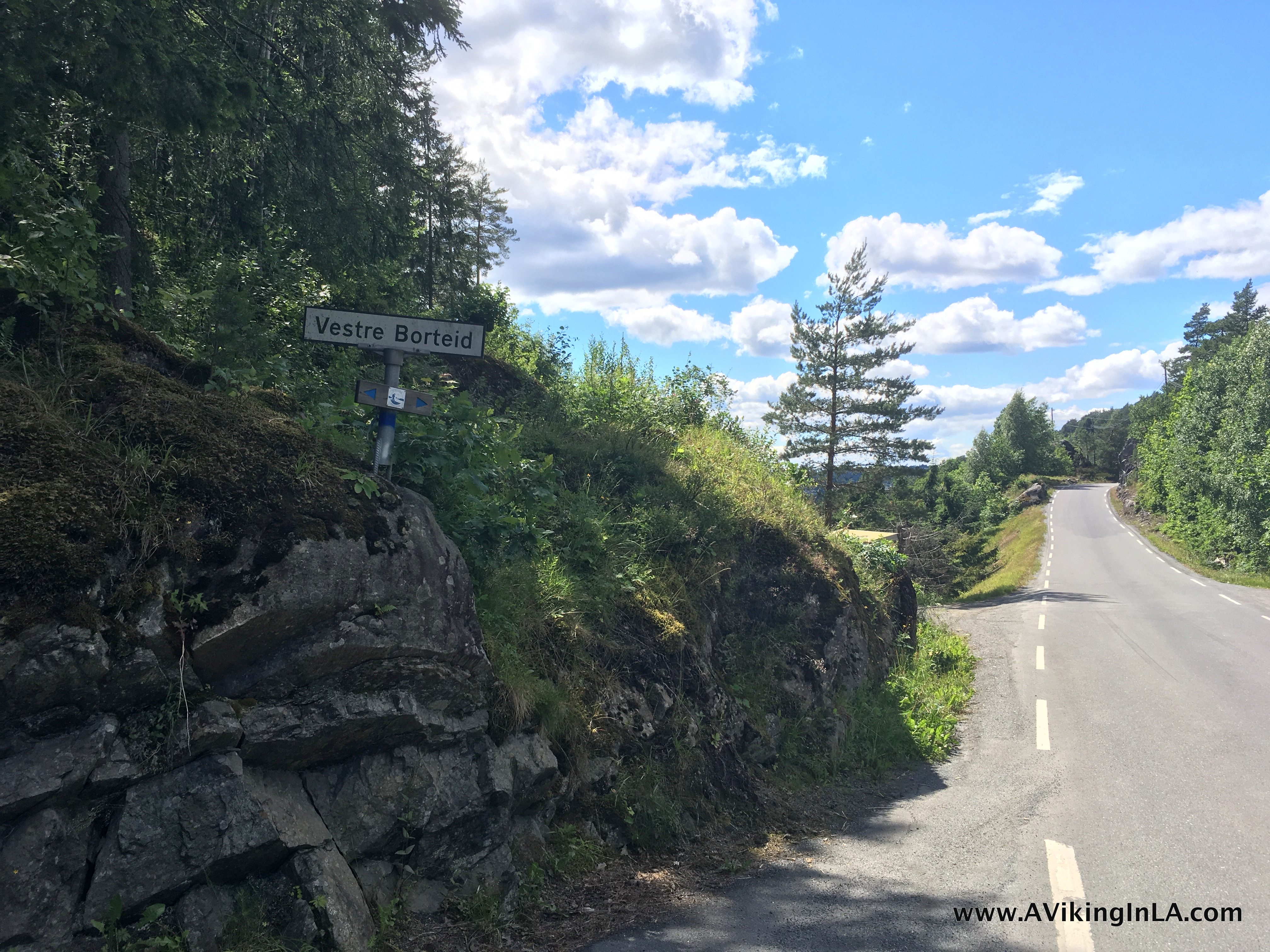
Then, however, it came out along Fossingveien, a road we had wanted to avoid walking along. I had read online at a Norwegian hiking website about there being a trail to avoid Fossingveien. It sounded great. It had viewpoints, cultural heritage sites, and natural landmarks along the way. The description warned that the alternate trail was poorly signed. Unfortunately, we did not find any way to avoid the road, just a Kyststien sign that pointed in the direction of Helle along the main road. We continued on along carefully.
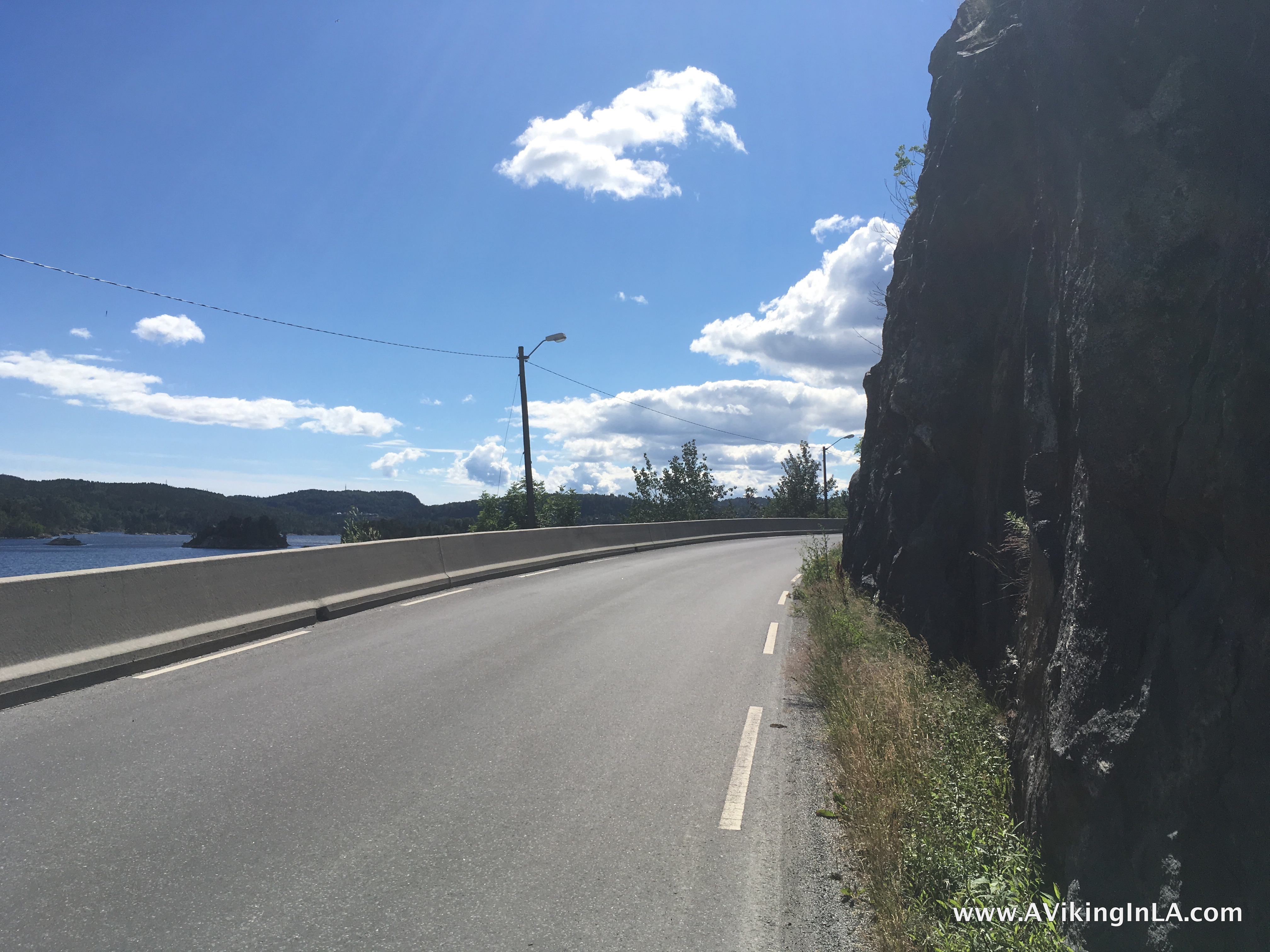
This alternate route is a mystery we’d like to solve because walking along Fossingveien is not ideal, and the alternative sounded so much better and more interesting.
A few days later when we were leaving our summer home to return to Oslo, my mother and I went on a reconnaissance drive to see where we had gone wrong. I have since studied a hiking map and Google maps very carefully. I believe my mom and I found the beginning of the alternative route. It’s a grass and gravel road not signed at all. It actually looks like a driveway to a house. It does still require some walking along Fossingveien, but a much smaller distance. I am eager to give it a try next year, just curious who’s up for joining me. (For a map of the area and our exploration of Kyststien, click here.)
Stay tuned for a post on our 2016 exploration of Part 2: Helle – Kragerø, which turned out to be quite the arduous hike for us.
Discover more from A Viking in LA
Subscribe to get the latest posts sent to your email.

Beautiful vistas and so green!! Very idyllic!
So fun to read! Well done!
Thank you. Glad you enjoyed it!